Road Trips & Overland · Argentina
Five thousand kilometres from the Bolivian border to the edge of the Southern Ocean, past wine valleys, painted deserts, thirteen national parks and the emptiest horizon in the Americas. Ruta 40 is the road trip South America measures itself against.
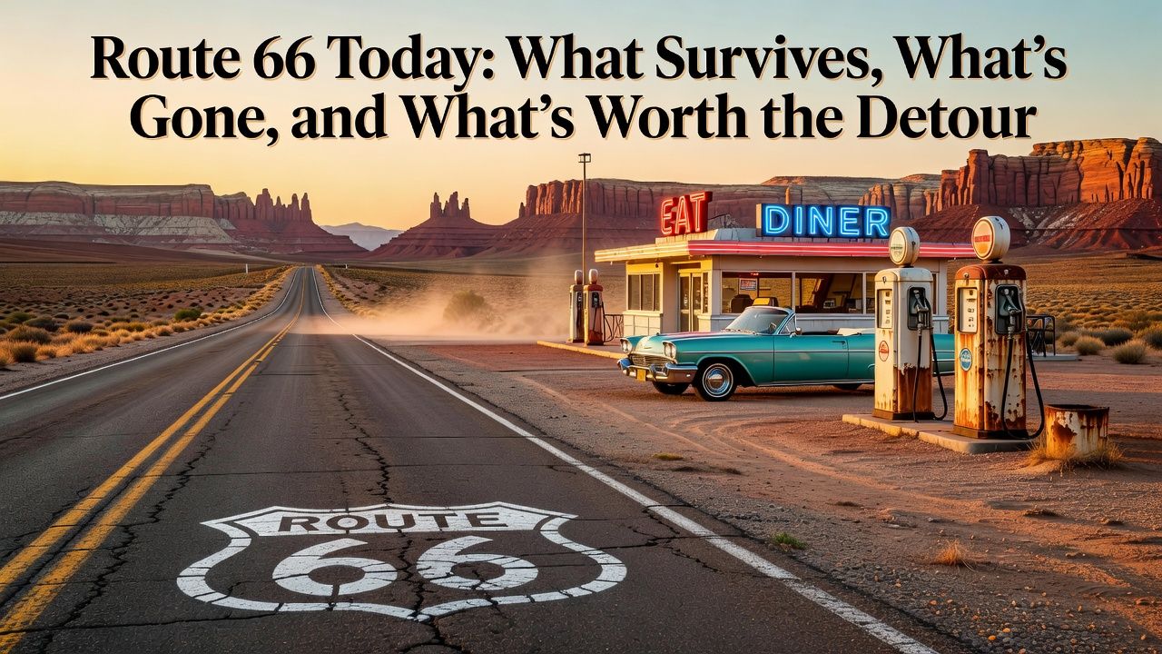
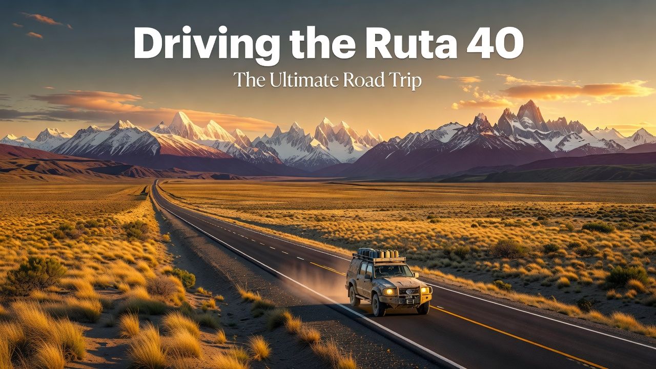
Every driving nation has one road that means more than transportation. America has Route 66, a memory kept alive in neon. Argentina has Ruta Nacional 40 — and the crucial difference is that the 40 is not a memory. It runs the entire length of the country, from La Quiaca on the Bolivian frontier to Cabo Vírgenes on the Strait of Magellan, hugging the Andes the whole way. Over 5,000 kilometres. Eleven provinces. It crosses twenty-one major rivers, passes eighteen national parks and reserves by most counts, climbs to a 4,895-metre pass, and threads some of the emptiest inhabited land on the planet.
Argentines treat it with genuine reverence — there are songs, novels and a steady pilgrimage of motorcyclists — yet foreign travellers still meet it mostly by accident, driving some stretch between two famous places and realising the road between them was the point. This guide is for doing it on purpose.
What the Road Actually Is Myth versus asphalt
First, a calibration the songs skip: Ruta 40 is no longer a gravel epic. The great paving projects of the past two decades have tarmac’ed the overwhelming majority of the route, including the formerly notorious stretches through Mendoza and Neuquén provinces. What remains unpaved are specific sections — most famously the long, lonely reach between Bajo Caracoles and Tres Lagos in Santa Cruz — plus countless worthwhile side roads. You can now drive the 40 in an ordinary rental car, and thousands do. What hasn’t changed is the scale: this is still a road where fuel stops are events, where you plan around the next town rather than the next exit, and where the Patagonian wind treats your vehicle as a suggestion.
The Three Ruta 40s North, middle, and the deep south
Nobody sensible drives all 5,000 kilometres in one gulp, and the road naturally breaks into three very different journeys.
The North: La Quiaca to Mendoza
The cultural heartland and, for many, the finest section of all. From the high-altitude Humahuaca Gorge — a UNESCO-listed quebrada of rainbow rock and adobe villages — the road climbs over the Abra del Acay at 4,895 metres (one of the highest road passes in the Americas; take it slowly and watch for altitude symptoms), drops through the stone-colony beauty of Cachi, and winds south through Cafayate’s high-altitude vineyards — the home of torrontés wine — and the red-rock amphitheatres of the Valles Calchaquíes. Further south come Talampaya’s sheer red canyons and the moonscapes of Ischigualasto (Valley of the Moon), where some of the world’s oldest dinosaur fossils came out of the ground. This is Argentina at its most visually extravagant, and it’s all small-town, family-winery, empanada-at-a-roadside-counter Argentina.
The Middle: Mendoza to Bariloche
The honest section. South of Mendoza — itself a magnificent wine-city detour — the 40 settles into long, hypnotic pampa driving: guanacos, rheas, oil country, and horizons that recalibrate your sense of distance. The rewards are spaced further apart: the Payunia volcanic reserve’s black lava seas, the oasis towns, the sudden appearance of the Andes’ snowy wall as you approach the Lake District. Break the monotony deliberately — Malargüe, the lagoons, a night in Chos Malal — and treat the emptiness as the experience rather than the interval between experiences. By Bariloche you’re in chocolate-and-breweries Patagonia, and the road’s character shifts again.
The South: Bariloche to Cabo Vírgenes
The famous one. South of Bariloche the 40 passes the hippie-craft energy of El Bolsón, then enters the deep-south loneliness that defines the legend: the long run through Esquel, past Los Alerces National Park’s ancient forests, down through the near-empty town of Perito Moreno (not the glacier — a town, and a naming confusion that has led many travellers astray), to the Cueva de las Manos — the Cave of Hands, a UNESCO World Heritage site where Indigenous artists stencilled their hands on canyon walls 9,000 years ago, arguably the single most moving stop on the entire route. Then El Chaltén and Fitz Roy, El Calafate and the Perito Moreno glacier (the actual glacier this time), and finally the wind-scoured run to Río Gallegos and the road’s end at Cabo Vírgenes, where a lighthouse faces the Atlantic and a sign tells you how far you’ve come.
How Long, and Which Part Matching the road to your calendar
The full drive needs five to six weeks minimum and most travellers should instead choose a section. Two weeks gets you the north done properly (Salta in, Mendoza out, or reverse). Two weeks gets you the deep south (Bariloche to El Calafate), though the long empty days test some drivers. The greatest-hits compromise: fly to Salta, drive the northern 40 to Mendoza in ten to fourteen days — it’s the densest concentration of scenery per kilometre and the friendliest logistics. Whatever section you choose, Argentina’s official tourism site argentina.travel maintains route and destination detail worth consulting in the planning stage.
| Section | Distance | Time needed | Signature stops |
|---|---|---|---|
| North: La Quiaca–Mendoza | ~2,000 km | 10–16 days | Humahuaca, Abra del Acay, Cachi, Cafayate, Talampaya, Ischigualasto |
| Middle: Mendoza–Bariloche | ~1,600 km | 5–8 days | Payunia volcanoes, pampa solitude, Andes approach |
| South: Bariloche–Cabo Vírgenes | ~2,300 km | 12–18 days | Los Alerces, Cueva de las Manos, El Chaltén, Perito Moreno glacier |
The Practical Discipline Fuel, wind, cash, tires
Ruta 40 driving is governed by four rules, and locals recite them like catechism.
Fuel is a plan, not an errand. In the south especially, stations can be 200–300 kilometres apart, and small-town pumps occasionally run dry. The rule is simple: never pass a working station below half a tank. Carrying a jerry can on the remotest stretches is common practice, not paranoia.
The wind is the real driver. Patagonian gusts hit 100 km/h and shove vehicles sideways without warning, worst on exposed steppe and when passing trucks. Keep both hands on the wheel, slow down, and if the forecast says a serious blow is coming, wait it out in town. This is the single most important safety habit on the southern 40.
Cash still rules the small towns. Argentina’s payment landscape has improved for foreign cards in recent years, but rural service stations and comedores remain cash-first, and ATMs in tiny places run empty. Carry a multi-day cash buffer, and check the current exchange mechanics before you travel — Argentina’s currency rules have changed repeatedly in recent years and the best way to pay has changed with them.
Your tires are your life. Gravel side roads eat sidewalls, and corrugated ripio rattles everything loose. Carry a full-size spare (inspect it before you leave the rental lot), know how to change it, and check pressures at fuel stops. A second spare or at least a repair kit earns its space south of Bariloche.
Renting for the 40 The fine print that matters
Standard Argentine rental agreements deserve careful reading for this trip. Many restrict or surcharge unpaved-road driving — and the Cueva de las Manos turn-off alone involves roughly 45 kilometres of gravel, so clarify what’s permitted. One-way rentals (say, Salta to Mendoza) carry meaningful drop fees but save a week of backtracking; international one-ways into Chile are rarely offered and, when they are, expensive. Book early for the Patagonian summer (December–February), when the small southern fleets sell out. A compact SUV with decent clearance is the sweet spot; a low city car will do the paved 40 but limits your side trips.
When to Go Two different answers
The north is a spring-and-autumn destination: March–May and September–November bring ideal temperatures, while summer storms can close high passes and winter nights bite at altitude. The south is the opposite: November through March is the season, with December–February bringing the longest days, the strongest winds, and the need to book El Chaltén and El Calafate beds well ahead. The shoulder months (November, March) are the Patagonian sweet spot. Attempting the deep south in winter is a specialist undertaking — many services simply close.
“Route 66 is a memory kept alive in neon. Ruta 40 is still alive — it just happens to run through the emptiest beautiful country on Earth.”
The Details That Make the Trip Eat, sleep, stop
Sleep in the small places: family hospedajes in Cachi, wine-country fincas outside Cafayate, estancias on the steppe where dinner is lamb off the cross and the stars do the entertaining. Eat at the truck-stop parrillas — the ones with the grills visible and the drivers’ cars outside — where the bife de chorizo will recalibrate your understanding of beef. Stop for every mirador, every guanaco herd, every hand-painted shrine to Gauchito Gil, the red-flagged folk saint whose roadside altars mark the whole route north. And keep a notebook: kilometre markers on the 40 are how Argentines measure their own country, and you’ll find yourself doing it too — saying “we made kilometre 4,000 today” with the pride of a milestone, because it is one.
Crossings and Side Trips Where the 40 meets Chile
The 40 shadows the Andes, and the passes over them are some of the finest detours in South America. In the north, the Jama Pass connects the Argentine puna to San Pedro de Atacama’s desert wonders (4,200 metres — take the altitude seriously). In the Lakes District, the Cardenal Samoré crossing links Bariloche to Puerto Varas through forests and volcano views. In the deep south, the famous manoeuvre is the loop: Bariloche down the 40 to El Chaltén and El Calafate, then west into Chile for Torres del Paine, returning via Paso Río Don Guillermo — the two countries’ greatest hits joined into one circuit. Each crossing means the full border ritual (see our rental-car guide for the cross-border permit paperwork if you’re driving a rental), Chile’s strict agricultural inspection — declare or dump every apple and sandwich — and, in return, some of the most dramatic roadscapes on the continent. Build a loose day around any crossing; queues and weather both have opinions.
Car, Motorcycle or Camper? Choosing your machine
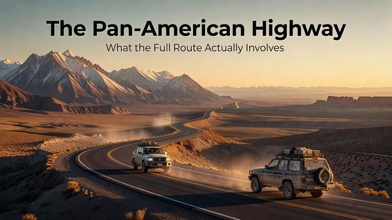
The 40 community divides into tribes. The motorcyclists are the most visible — the road is a rite of passage for Argentine riders, and the camaraderie at fuel stops is genuine; wind exposure and ripio sections are their tax. The overlanders in 4×4 campers treat the 40 as a segment of longer Pan-American journeys and congregate at a network of known wild-camping spots. And the rental-car travellers — the fastest-growing tribe — trade expedition credibility for comfort and simplicity, which on a mostly paved road is a trade worth making. Whichever machine you choose, the road’s courtesies are universal: wave to oncoming drivers on the empty stretches (the raised index finger off the wheel is the local custom), stop for anyone broken down — distances make this a genuine moral obligation — and give the gravel trucks a wide, patient berth. The 40 is long, and everyone on it is your neighbour for a thousand kilometres.
The Honest Warning Who this road isn’t for
If long empty hours behind the wheel sound like a chore, the 40 will feel like a sentence — fly between the highlights instead; Argentina’s domestic network makes that easy. If you need every night booked and every day scripted, the small-town spontaneity will stress you. But if the idea of a road that takes a month to know, where the driving itself is the destination and the country keeps changing its mind outside the window — desert, vineyard, volcano, glacier, ocean — then no road in the Americas will pay you back like this one. The 40 doesn’t have Route 66’s merchandise. It has everything else.
A Sample Three Weeks The road, scheduled
Assume a pickup in Bariloche and a one-way drop in the far south — the classic play. Week one, the lakes to the steppe: Bariloche to El Bolsón for a night (the craft fair, the first roadside cervecerías), then Esquel and Los Alerces national park, where the 40 is still paved and forested and lulls you into confidence. South of Esquel the road begins its real personality: long, empty, hypnotic. Week two, the heart of it: the gravel stretches and the famous gaps between services — fuel discipline starts here — through Perito Moreno town (confusingly, not the glacier) to the Cueva de las Manos detour, which is worth every one of its rough kilometres; then on to El Chaltén for two or three nights, because Fitz Roy deserves more than a windshield photo, and El Calafate for the glacier that does have the famous name.
Week three, the deep south: the long run down through Río Gallegos — a resupply city, not a destination, and that’s fine — then the ferry across the Strait of Magellan, Tierra del Fuego’s weird wind-bent border country (you’ll cross Chilean soil; paperwork in hand), Río Grande, and the final cinematic hours over the Garibaldi Pass into Ushuaia. Budget a weather day somewhere in the south, because the wind will take one whether you budget it or not. And solve the return before you start: one-way rentals southbound carry a stiff drop fee, and the standard solutions are booking that fee into the budget from day one, flying back from Ushuaia, or — the romantic’s option — turning around and driving back up the Atlantic side on Ruta 3, which makes the trip a loop and the fee disappear. Total distance, Bariloche to Ushuaia with the worthwhile detours: roughly 3,500 kilometres. It will feel like twice that, in the best way.
Costs for the loop, honestly: fuel is the dominant line (Argentina’s petrol is no longer the bargain it once was, and the empty stretches mean you’ll buy it at whatever the lone pump charges), and a two-wheel-drive rental for three weeks plus the one-way fee will be the single biggest purchase of most travellers’ Argentina trip — split two or three ways, it becomes merely reasonable. Book the El Calafate glacier excursion a few days ahead in high season, book nothing else more than a night or two out, and keep the southern weeks flexible enough to let the wind edit your schedule. It will, and the edits are usually improvements.
Road paving status, fuel availability and rental terms described here reflect conditions reported through mid-2026; verify current conditions locally, especially for the remaining gravel sections in Santa Cruz. Pass altitudes and seasonal closures vary with weather. This article contains no affiliate links. All outbound links checked live in August 2026.